
Topographic map prints
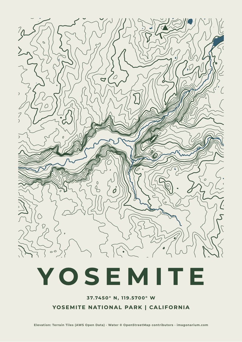
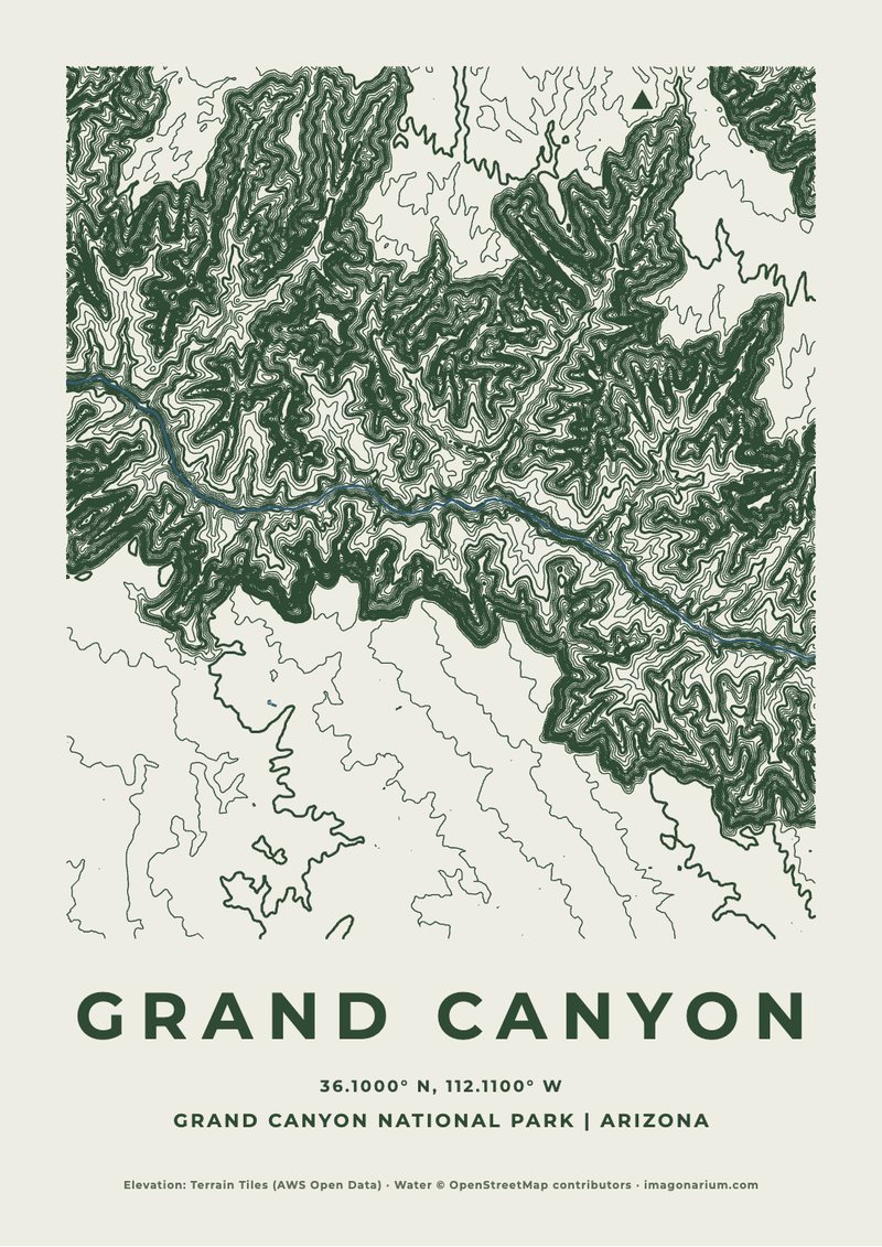
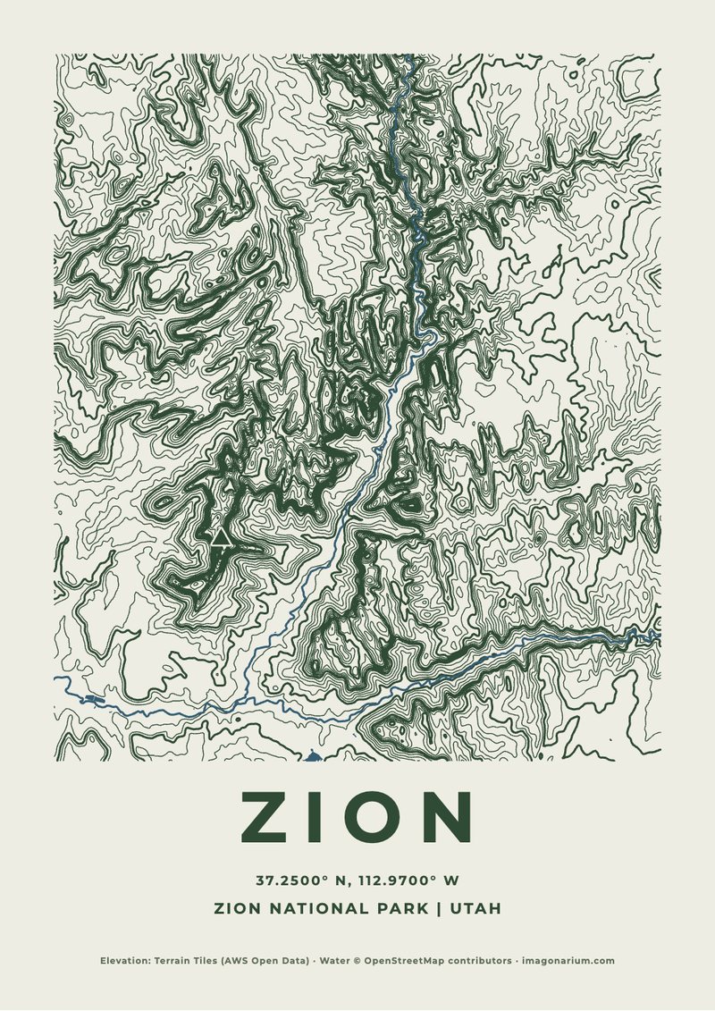
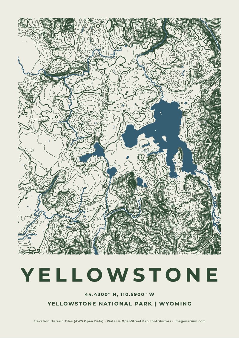
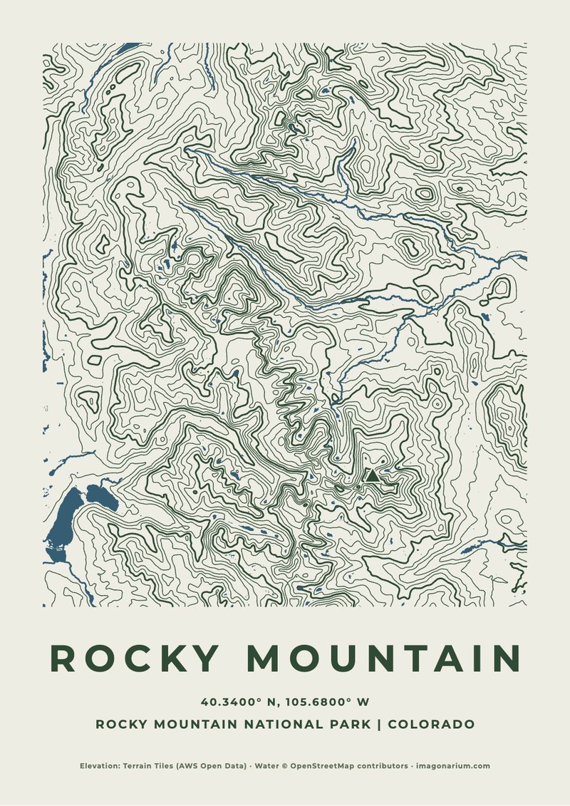
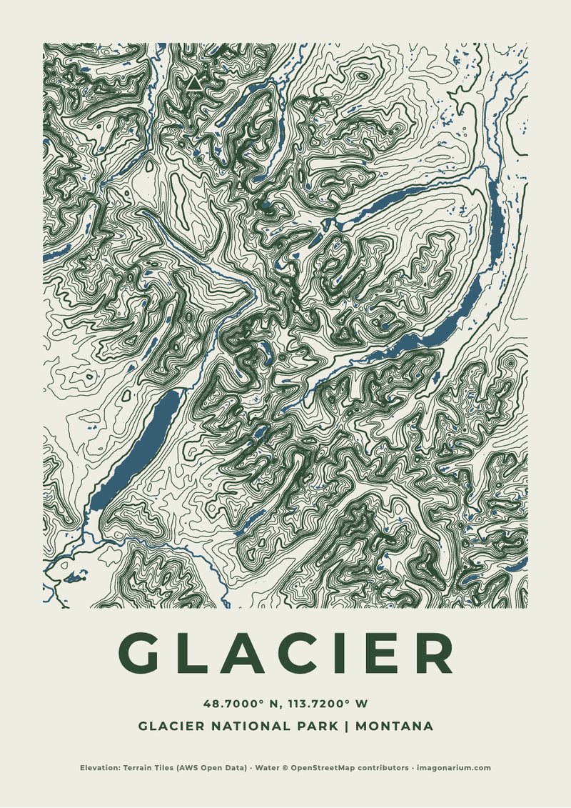
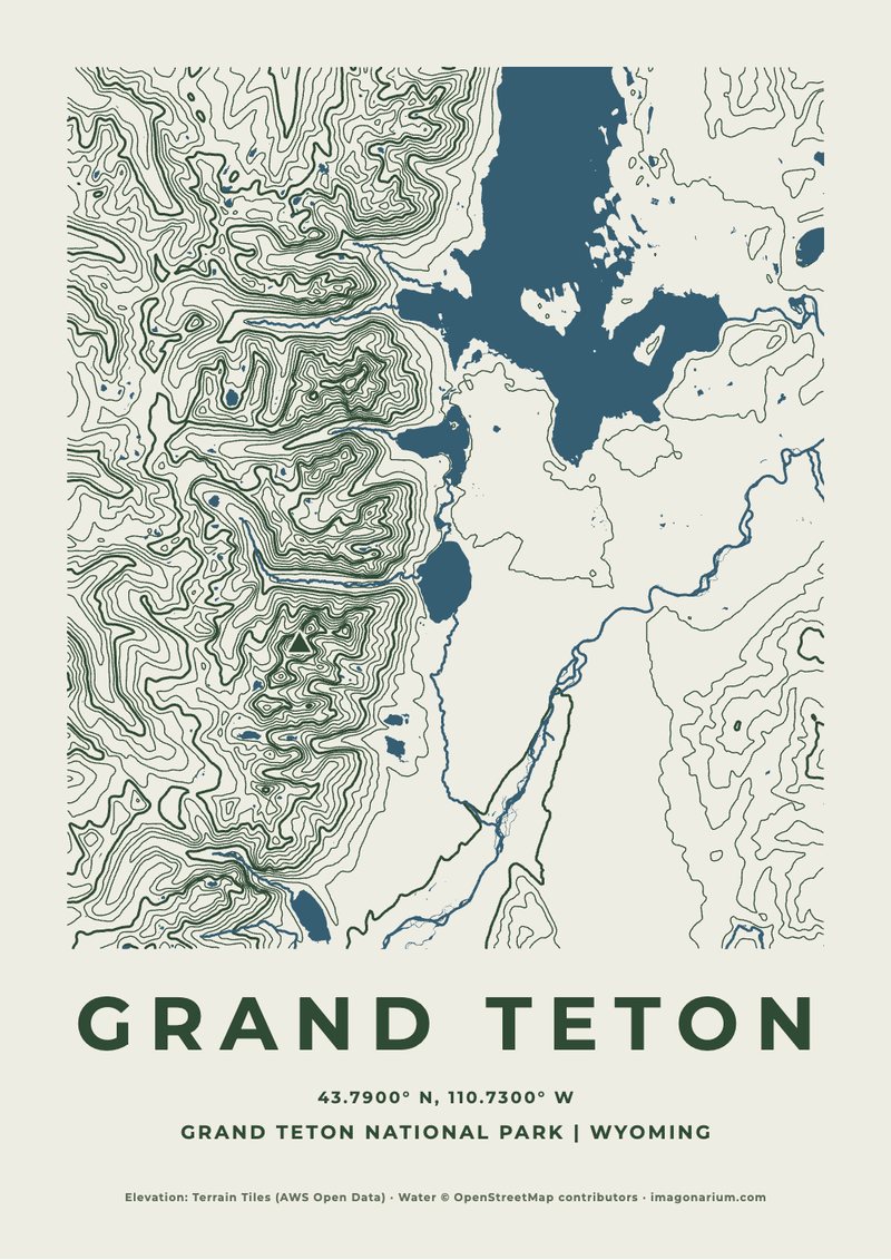
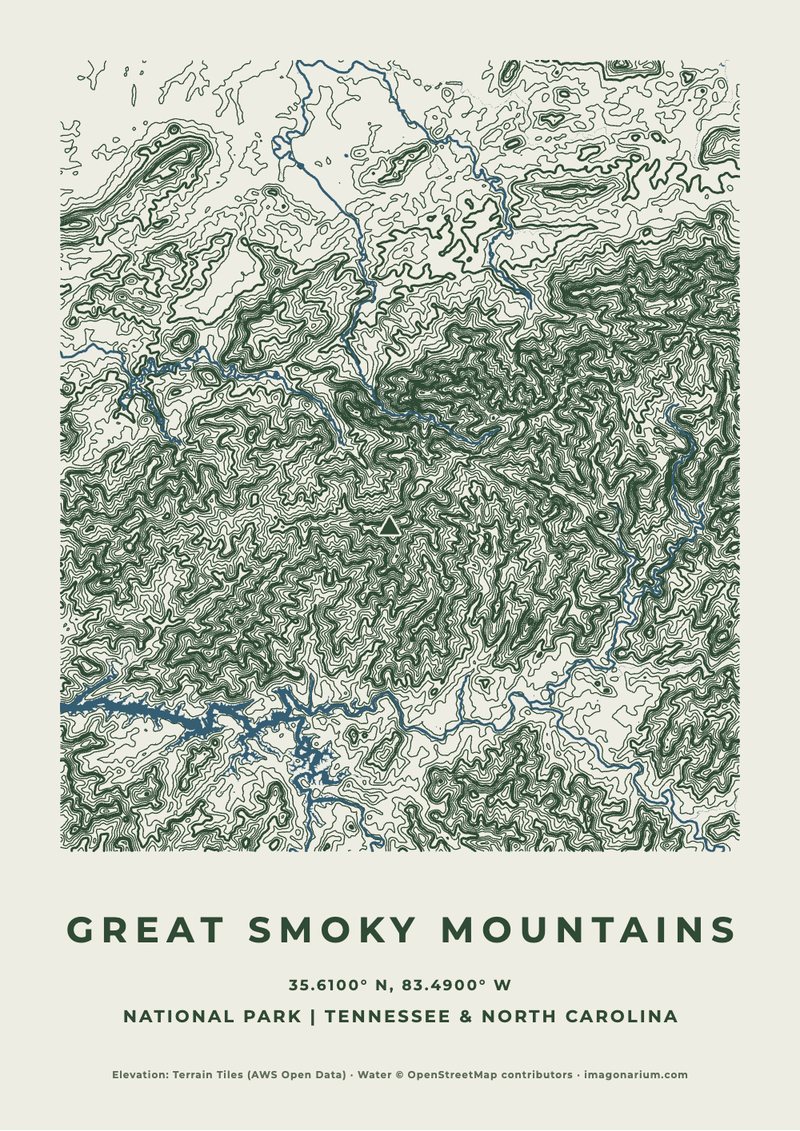
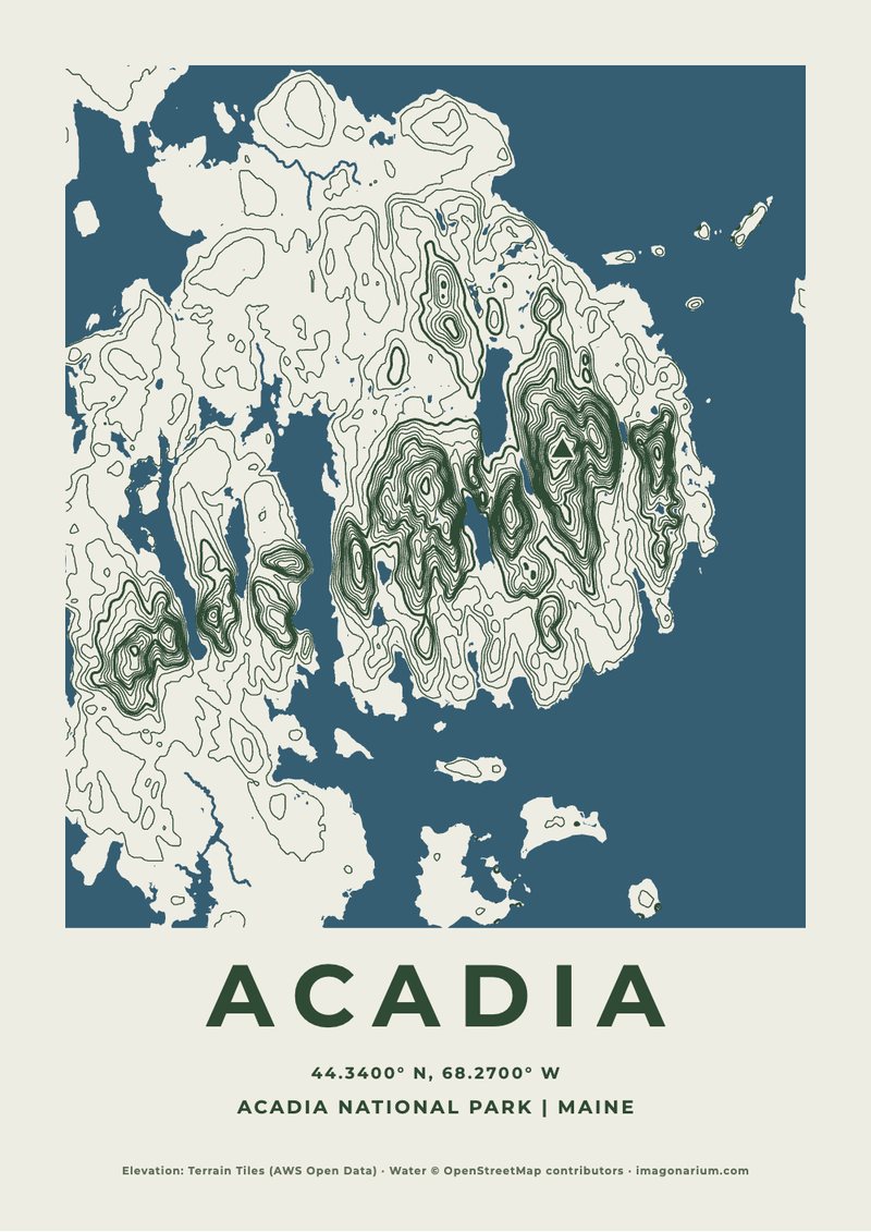
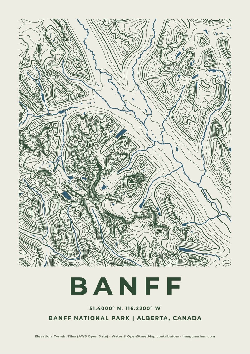
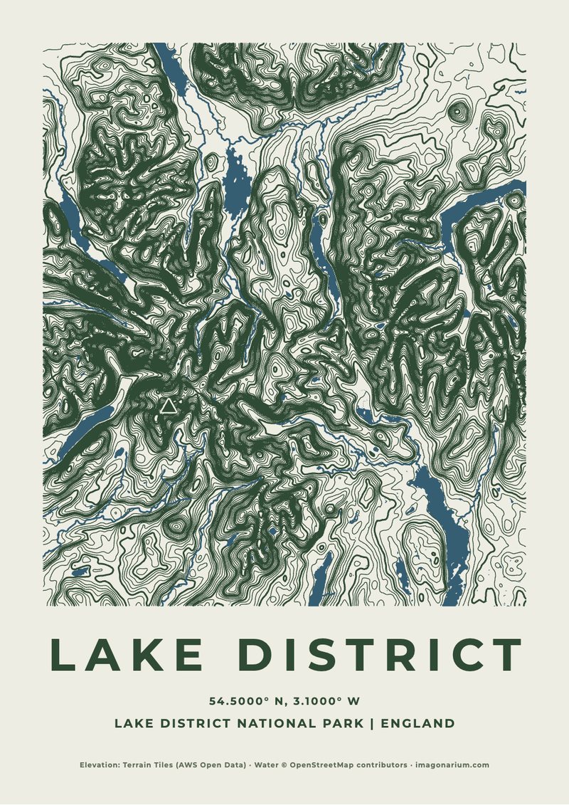
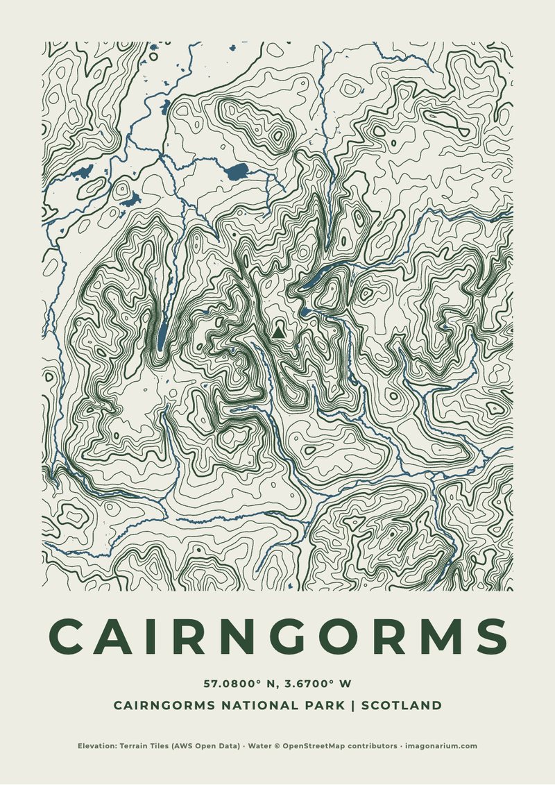
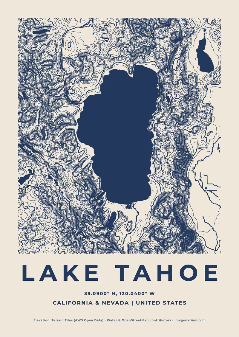
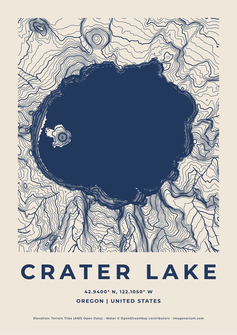
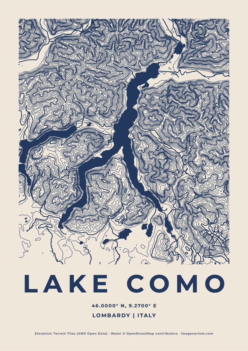
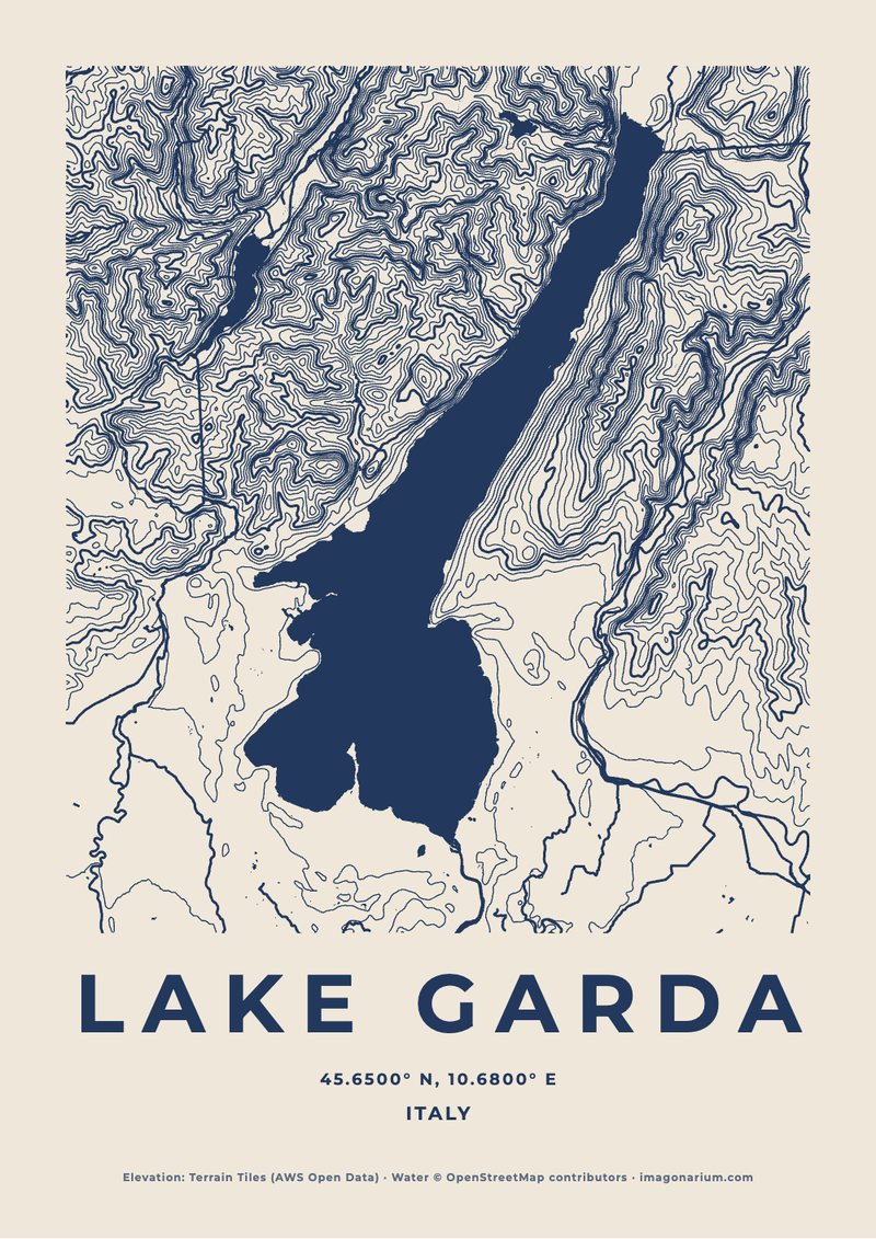
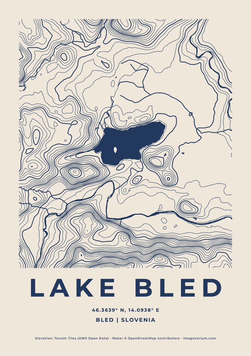
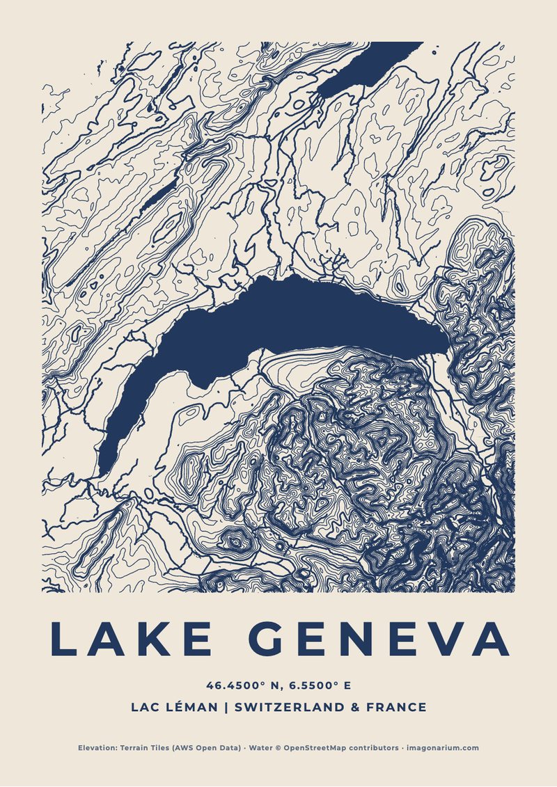
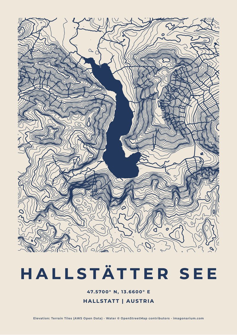
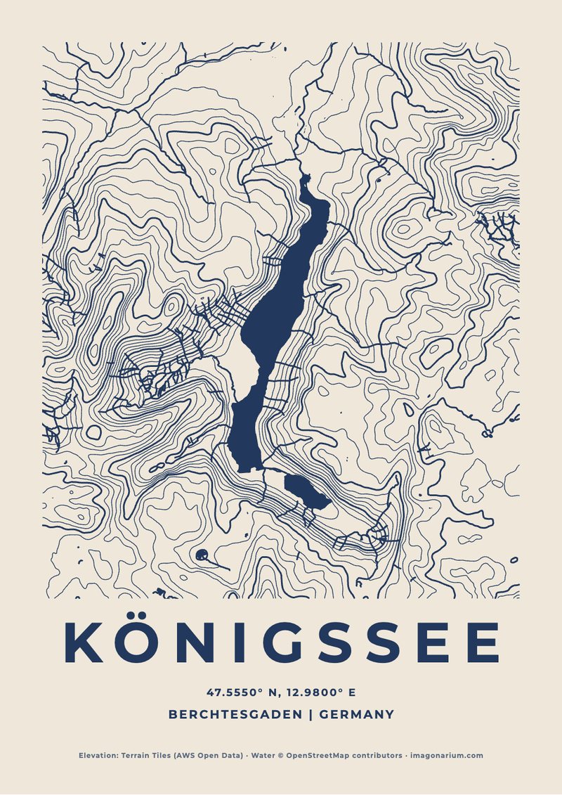
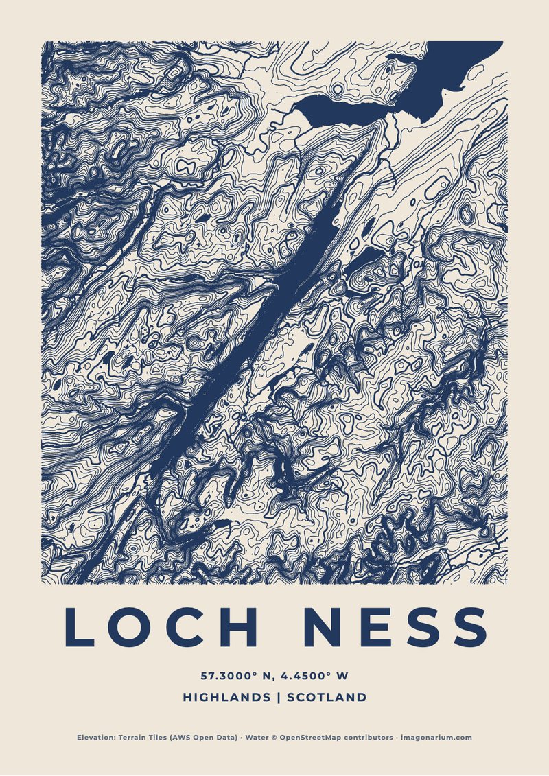
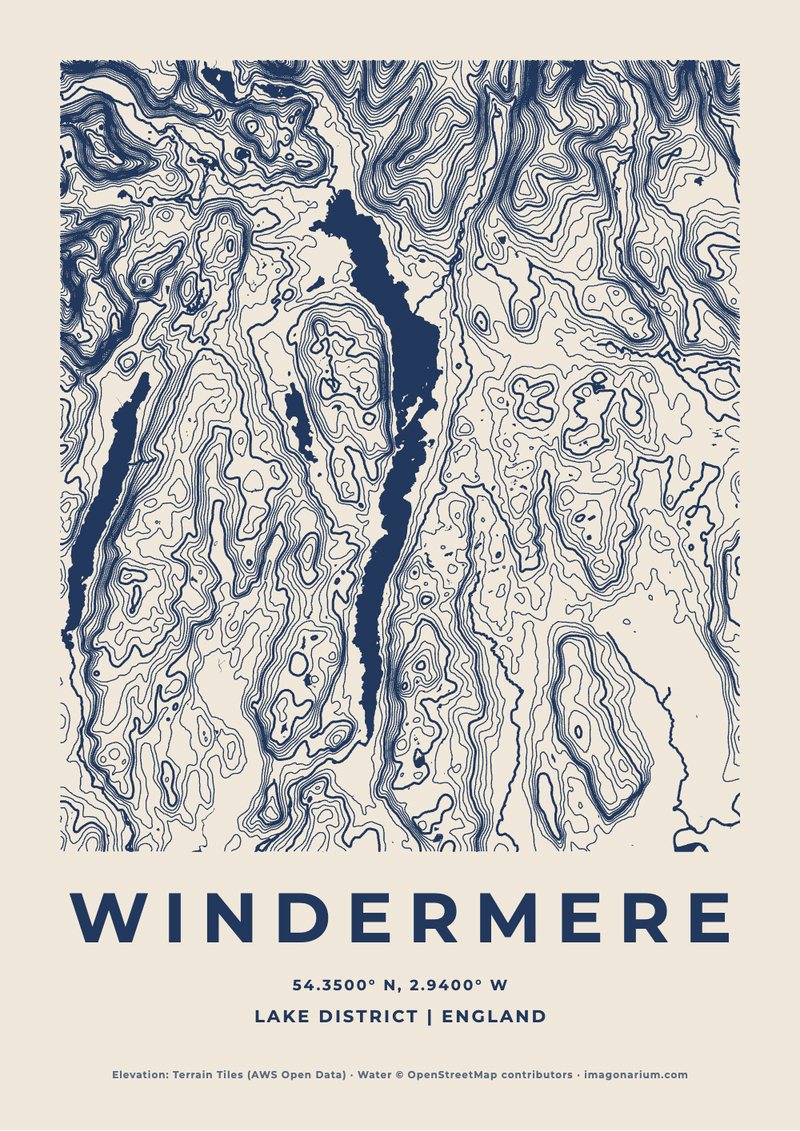
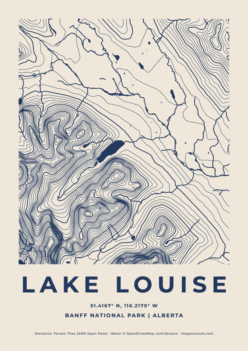
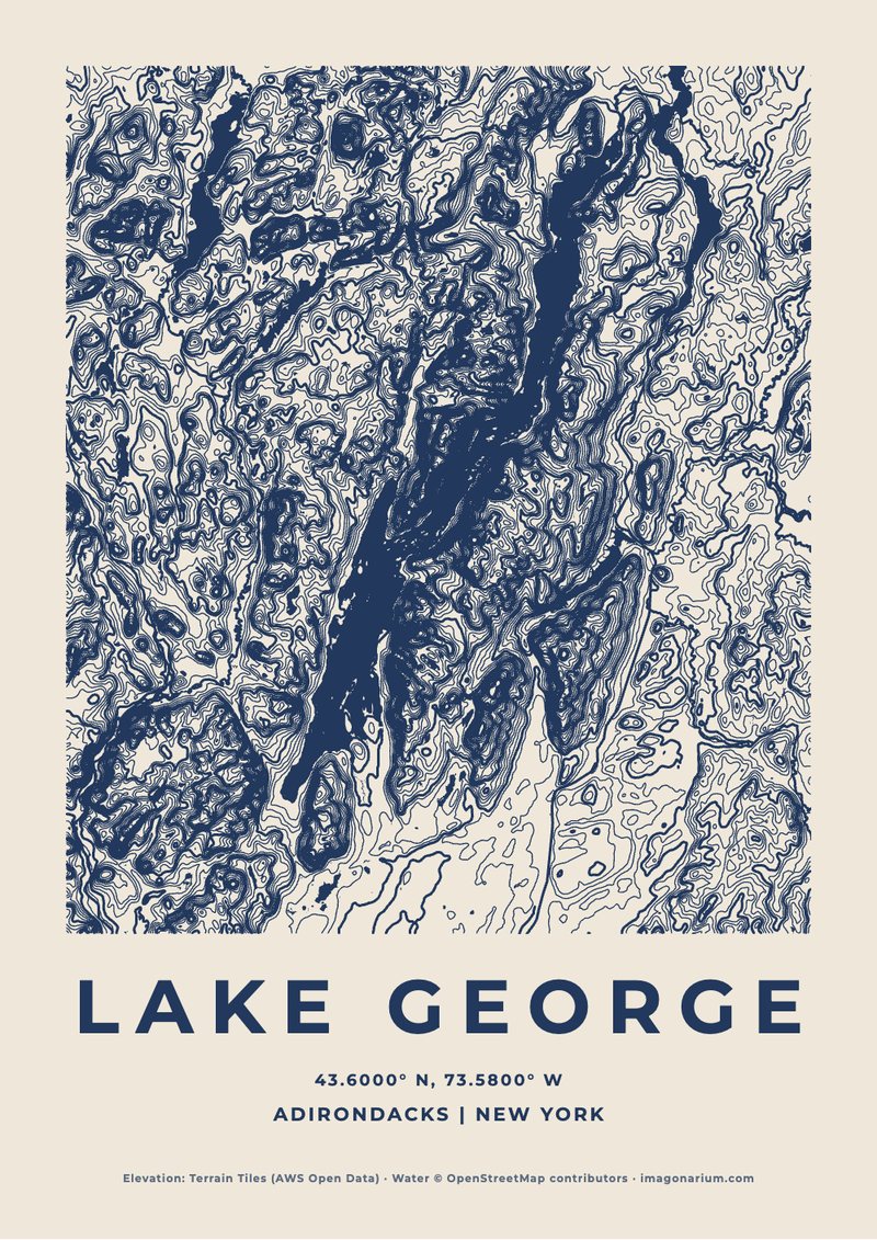
Mountains, national parks and lakes drawn in their contour lines from real elevation data, with their water and the summit marked. Choose a famous place below, or make one of anywhere you love, in your own colour and words.
Any mountain · €14.90Any national park · €14.90Any lake · €14.90Your hike · €14.90Ridgeline print · €14.90
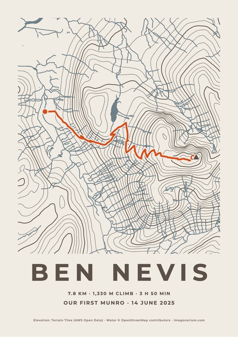
Your hike on the map
Upload the GPX file from Strava, Komoot or your watch: your route over the real mountains, with the distance, the climb and the time.
Map your hike →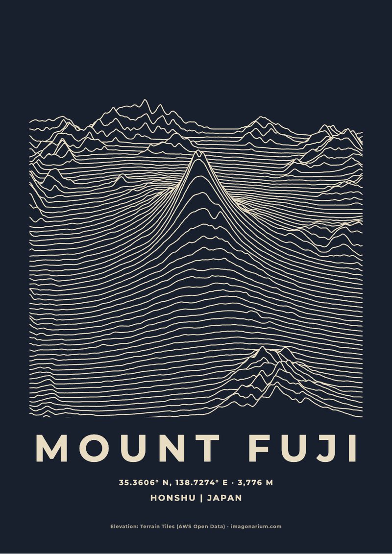
Ridgeline prints
The same real land drawn another way: rows of lines rising over the mountain like a sound wave. Any peak in the world, in any colour.
Make a ridgeline print →Mountains
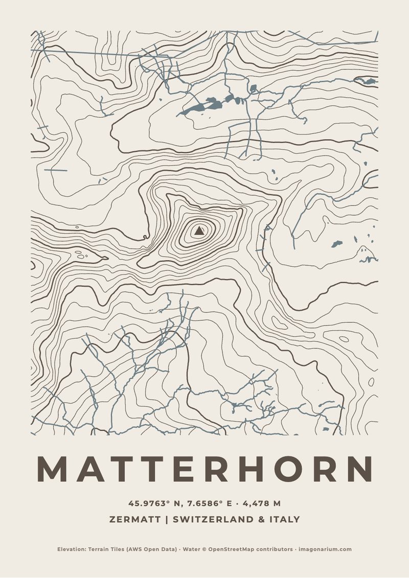
Matterhorn
4,478 m · Switzerland & Italy
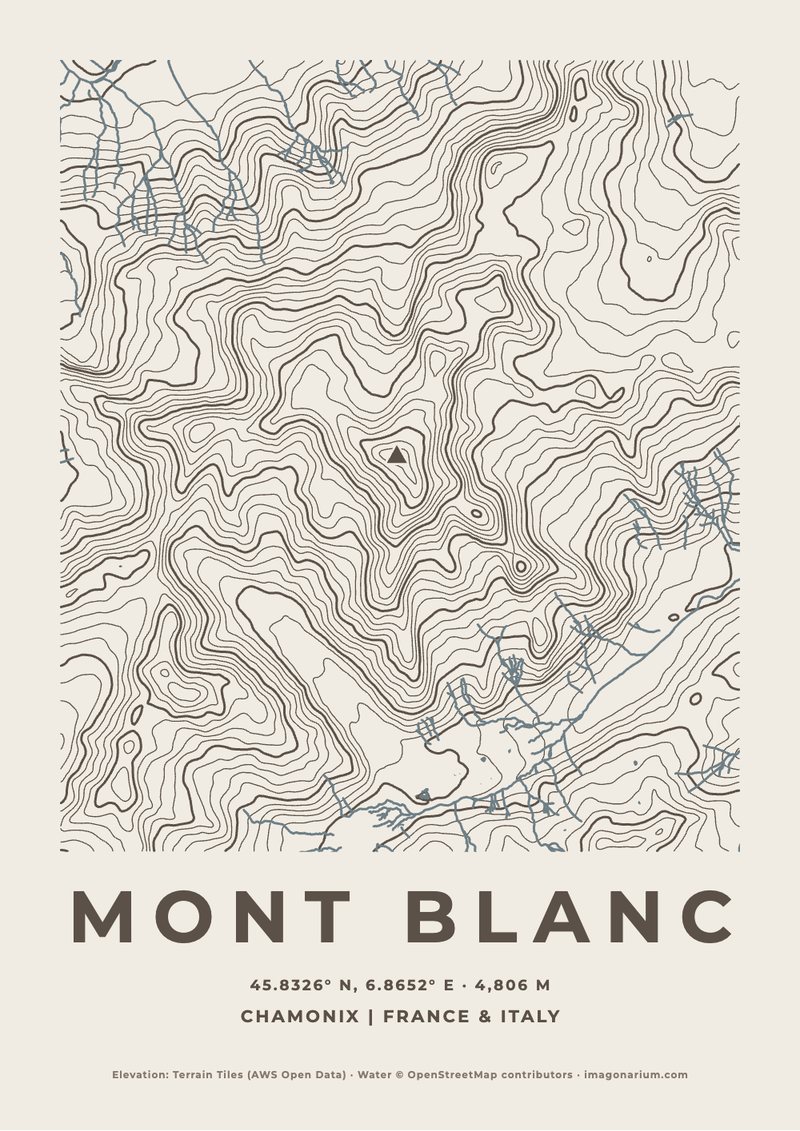
Mont Blanc
4,806 m · France & Italy
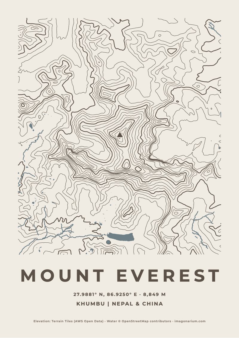
Mount Everest
8,849 m · Nepal & China
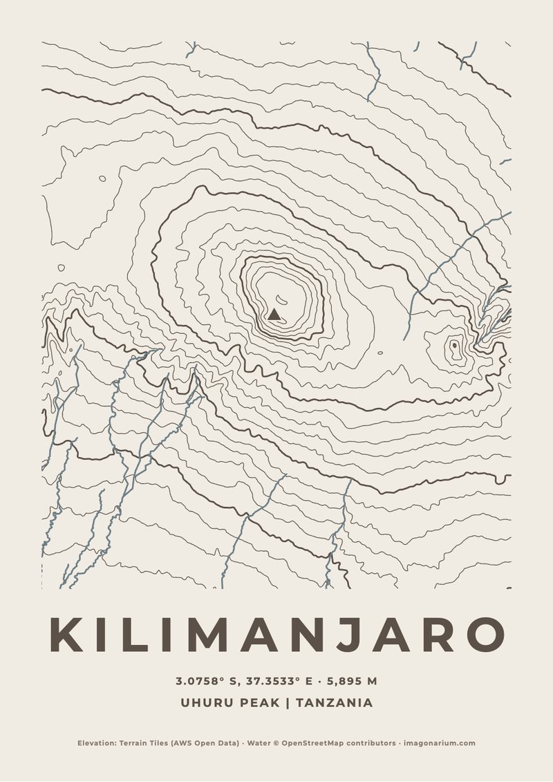
Kilimanjaro
5,895 m · Tanzania
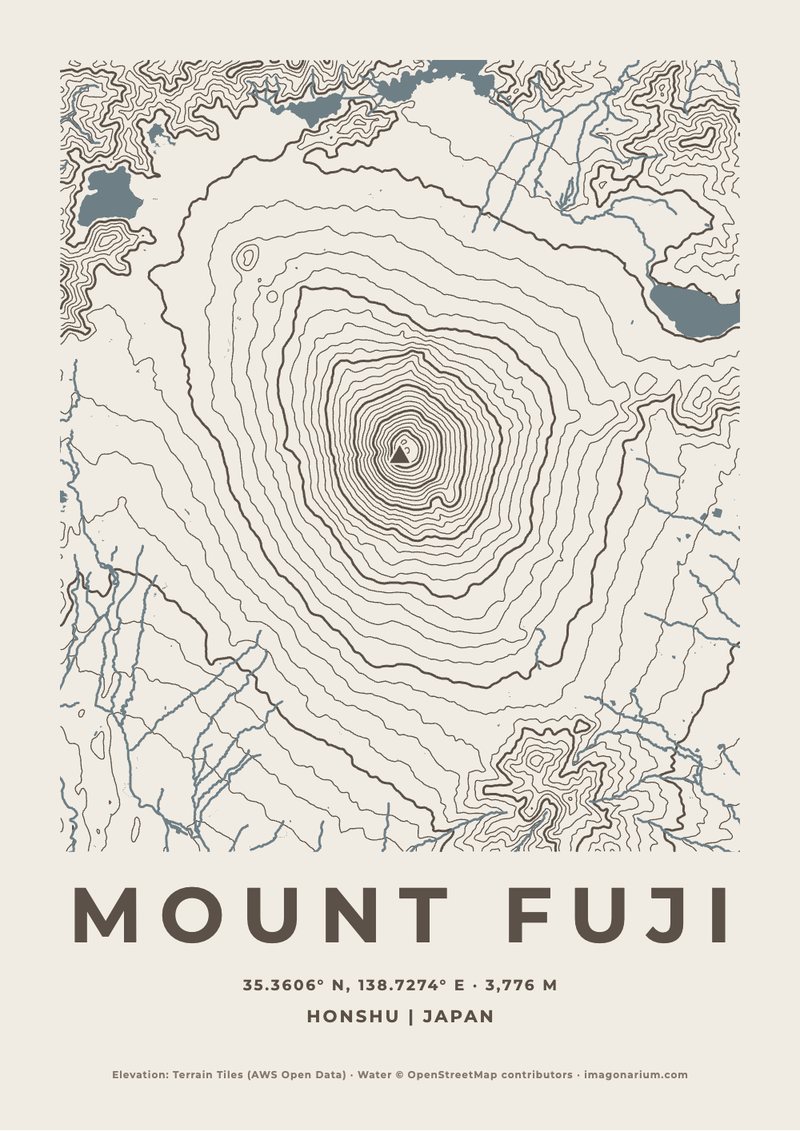
Mount Fuji
3,776 m · Japan
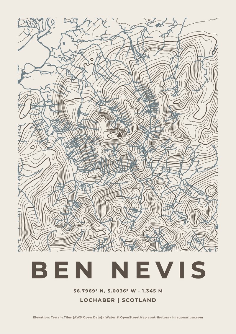
Ben Nevis
1,345 m · Scotland
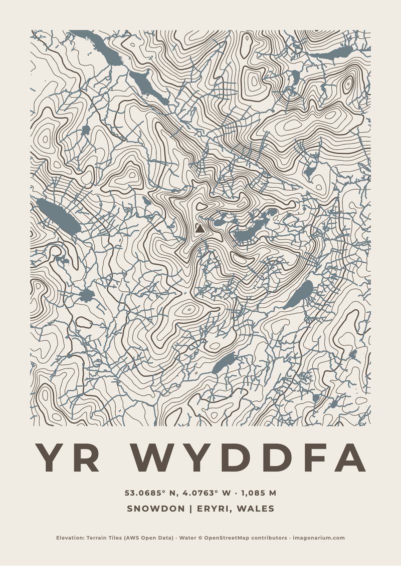
Yr Wyddfa
1,085 m · Eryri, Wales
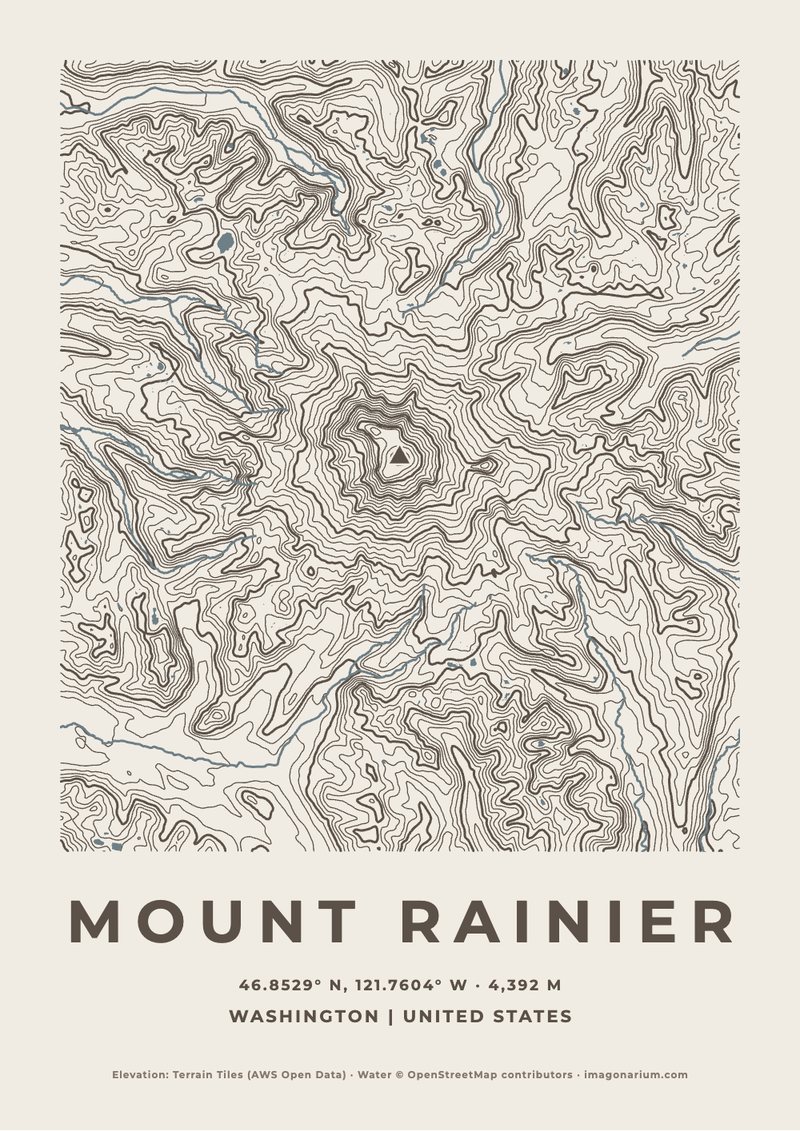
Mount Rainier
4,392 m · United States
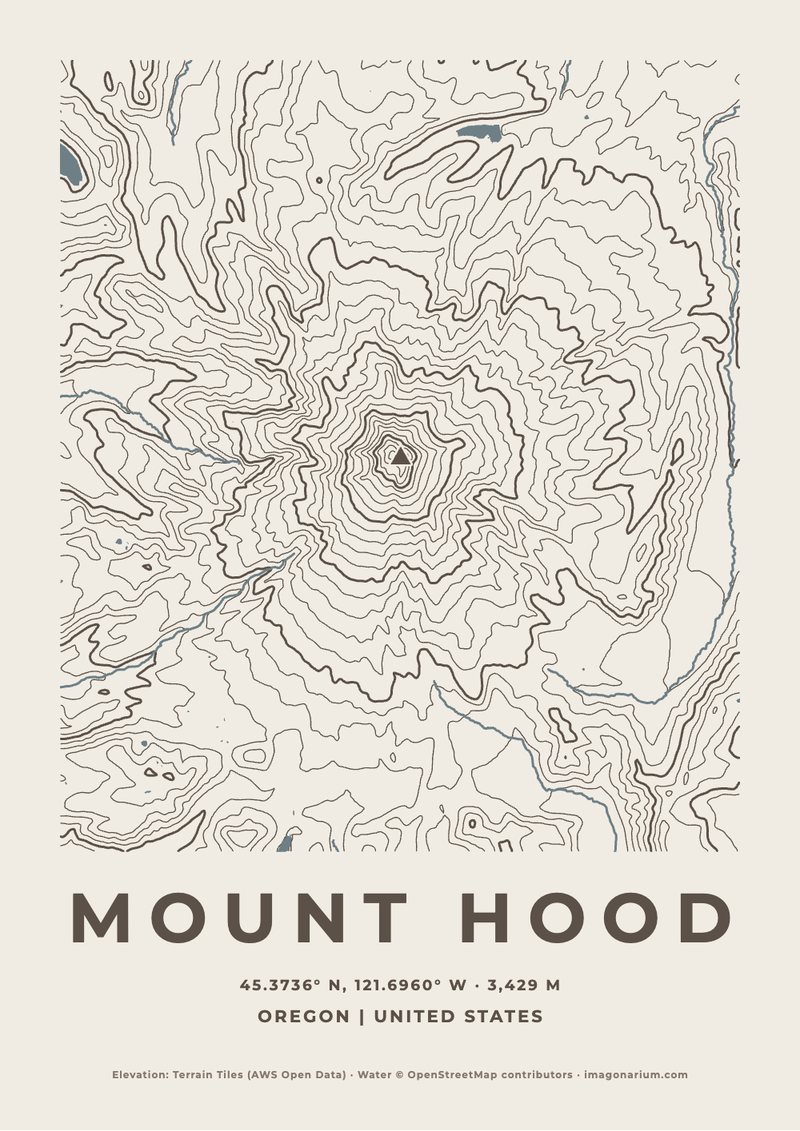
Mount Hood
3,429 m · United States
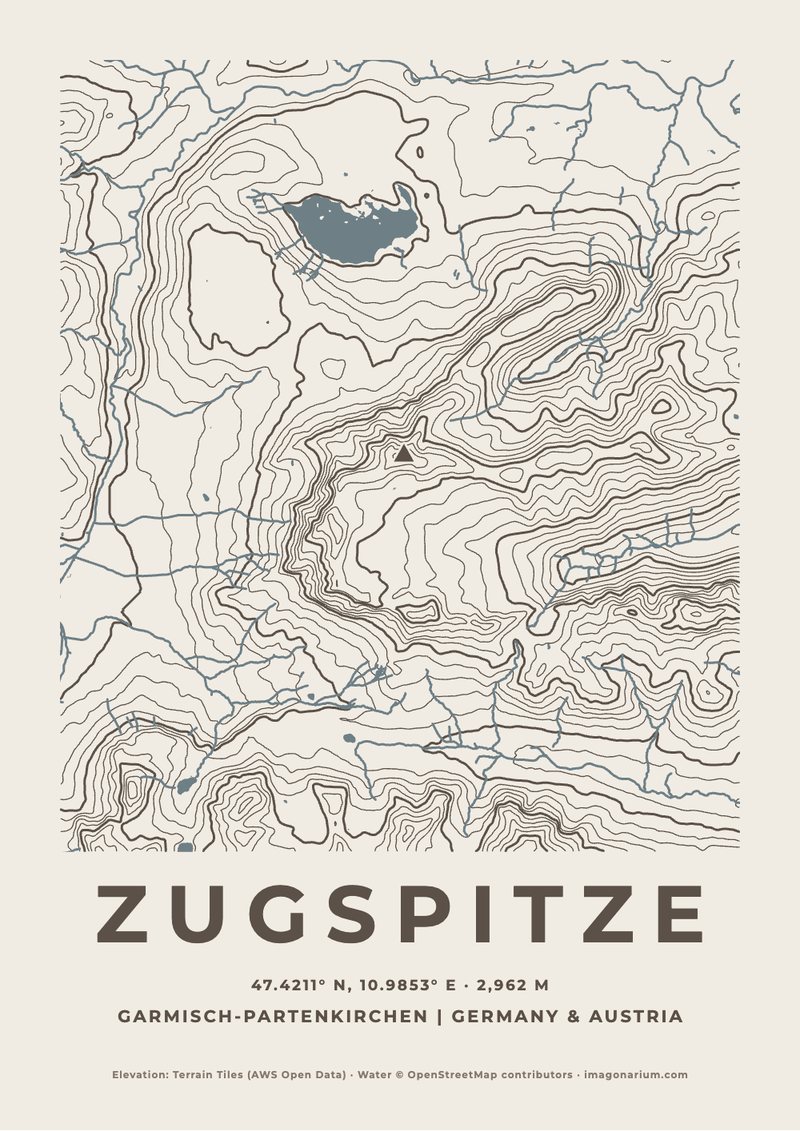
Zugspitze
2,962 m · Germany & Austria
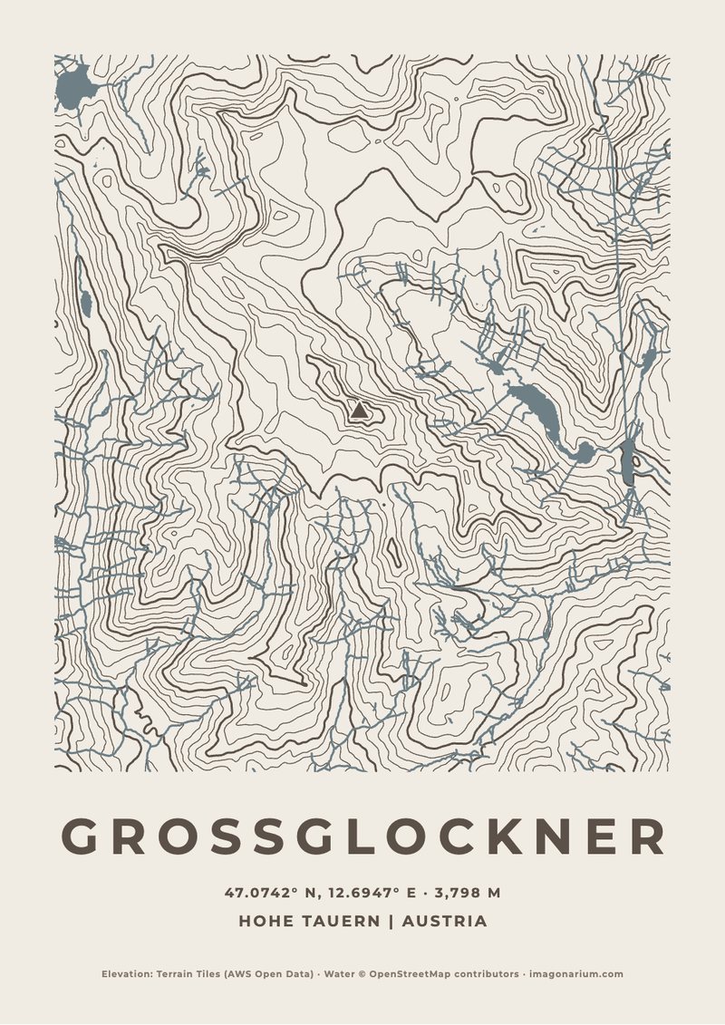
Grossglockner
3,798 m · Austria
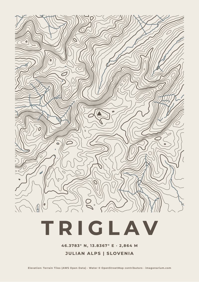
Triglav
2,864 m · Slovenia