

National Park Topographic Map Print — Any Park in Contour Lines
Any national park drawn in contour lines from real elevation data, with its rivers and lakes. Forest green by default, or any colour.
€14.90≈ $16.67
Search any mountain, park or lake, choose the frame and the colour · Live preview · Instant PDF
- Designlive preview
- Paysecure checkout
- Downloadinstantly
- Hangprint it today
A digital file — nothing is posted, nothing to wait for.
Giving it as a gift?
For a hiker's first summit, a ski trip, the lake where you spent every summer or the park where you got engaged — the land itself, drawn in its contour lines. It’s ready the moment you pay: print it at home or at any print shop and frame it — no shipping, no waiting.
- Any national park in the world, from real elevation data
- Rivers and lakes drawn in, the highest point marked
- 6 colours or any colour of your own; forest green by default
- Your words: name, coordinates, region or a date
- Print-ready PDF: A5 to A1 and US sizes
- Instant download, no item shipped
Design yours
Everything you change shows in the preview. The file has no watermark.
Powered by Moon Poster Studio
Questions
Is it the real land?
Which places work?
Can I change the colour?
What does it say?
Can I put my own hike on it?
What are ridgelines?
How tall is the summit on the print?
What size is it?
When do I get my files?
Is anything posted to me?
Can I give it as a gift?
What if something is wrong with a file?
Something else? Ask us.
You may also like
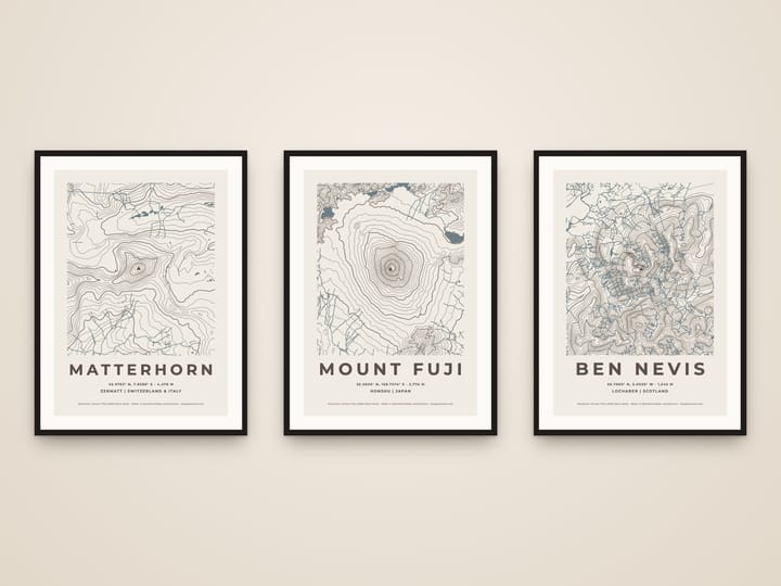
Custom Mountain Topographic Map Print — Any Peak in Contour Lines
€14.90≈ $16.67
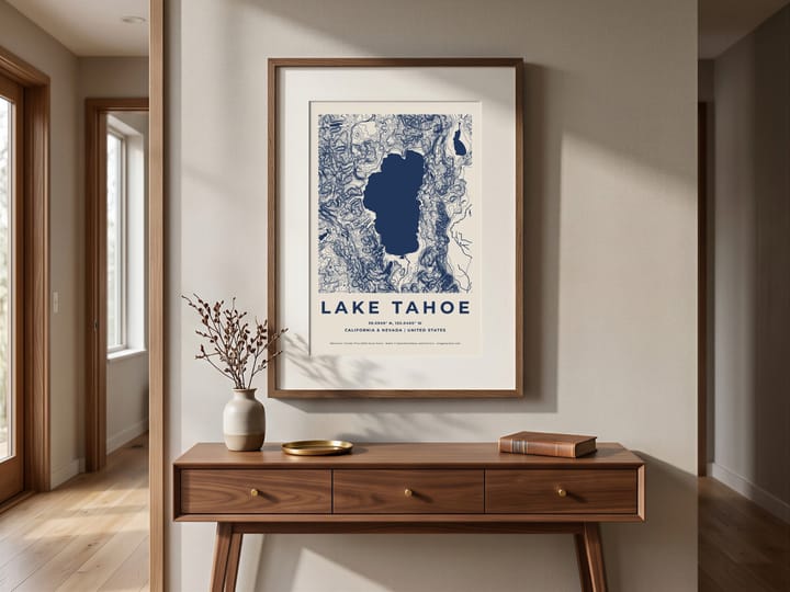
Custom Lake Map Print — Any Lake, Topographic Contour Poster
€14.90≈ $16.67
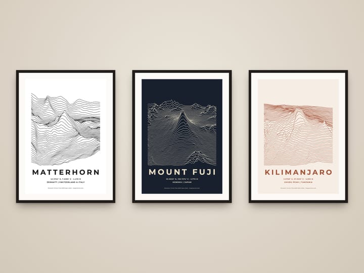
Ridgeline Mountain Print — Any Peak as Rising Lines, Unknown Pleasures Style
€14.90≈ $16.67
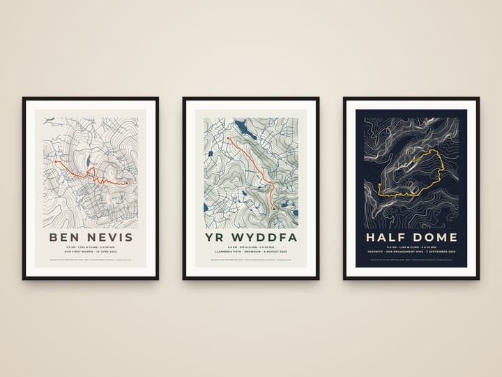
Hiking Route Map Print — Your GPX Hike on a Topographic Map
€14.90≈ $16.67
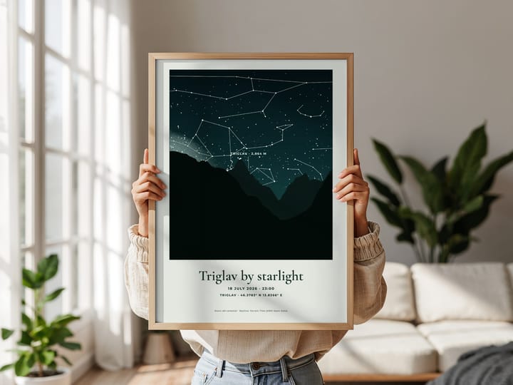
Summit Night Sky Print — The Real Stars Over Your Mountain
€14.90≈ $16.67
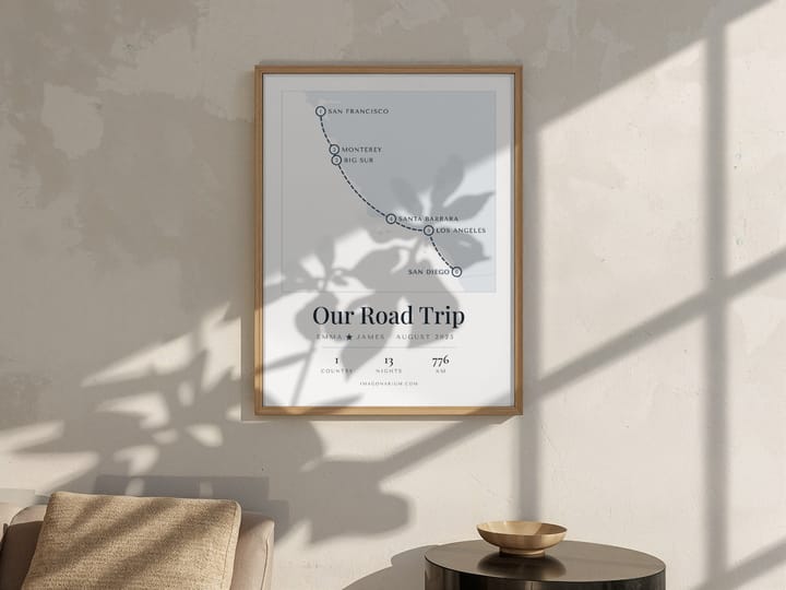
Personalised Trip Map Print — Your Honeymoon or Road Trip Route, Stop by Stop
€14.90≈ $16.67