

Ridgeline Mountain Print — Any Peak as Rising Lines, Unknown Pleasures Style
Any mountain in the world drawn as rows of lines rising over the real land, like a sound wave. Night by default, or any colour.
€14.90≈ $16.67
Design yours
Search any mountain, choose the lines and the colour · Live preview · Instant PDF
- Designlive preview
- Paysecure checkout
- Downloadinstantly
- Hangprint it today
A digital file — nothing is posted, nothing to wait for.
Giving it as a gift?
For a climber, a skier or anyone with a favourite peak — their mountain rising out of the lines, for the wall above the desk. It’s ready the moment you pay: print it at home or at any print shop and frame it — no shipping, no waiting.
- Any mountain in the world as rows of rising lines
- Drawn from real elevation data
- Night, black & white and 4 more colours, or your own
- Name, coordinates, summit height and your own line
- Print-ready PDF: A5 to A1 and US sizes
- Instant download, no item shipped
Any mountain in the world as a ridgeline print: the land is drawn as rows of lines from north to south, each one lifted by the real height under it, so the peak rises out of them like a sound wave. It's the look of the famous Unknown Pleasures album cover, made from real elevation data.
Search any peak, range or national park, choose how much of the area the print shows, from 3 to 80 kilometres across, and tap the map to move its middle. Pick fewer, bolder lines or many fine ones. You can also switch to classic contour lines.
Colours: night (cream lines on navy), black and white, stone, terracotta, forest green or lake blue, or any colour of your own.
The words are yours: the name in spaced capitals, the coordinates and the summit's height, and a line under it such as the region, or the date you climbed it.
You get a print-ready PDF at the size you choose, from A5 to A1 or 8×10 to 24×36 inches, each laid out for its own shape so nothing is cut off. It's ready the moment you pay; nothing is posted.
Elevation data: Terrain Tiles on AWS Open Data.
Design yours
Everything you change shows in the preview. The file has no watermark.
Powered by Moon Poster Studio
Questions
Is it the real land?
Yes. The contour lines are drawn from real elevation data (the Terrain Tiles on AWS Open Data, from the SRTM survey and national maps), and the lakes, rivers and sea from OpenStreetMap. Search any place on Earth and you see its own hills and valleys.
Which places work?
Any mountain, national park, lake, valley or island in the world. Search it by name, choose how many kilometres across the map shows, from 3 to 80, and tap the map to move its middle.
Can I change the colour?
Yes: lake blue, forest green, stone, terracotta, black and white or night, or pick any colour of your own and the paper and water are matched to it.
What does it say?
The name in spaced capitals, the coordinates (and the summit's height for a mountain), and a line under it such as the region and country. Change any of it, or write your own line: the date of your climb, your names.
Can I put my own hike on it?
Yes, with the hiking route listing: upload the GPX file from Strava, Komoot, Garmin Connect, AllTrails or your watch, and your route is drawn over the contour lines, the map fitted around it, with the distance, the climb and the time read from the file. On Strava's website open the activity, then the three dots and Export GPX.
What are ridgelines?
A second style: instead of contour lines seen from above, the land is drawn as rows of lines from north to south, each lifted by the height under it, so the mountain rises out of them like a sound wave (the look of the famous Unknown Pleasures album cover). Every listing can switch between the two.
How tall is the summit on the print?
Mountains open with the official height. The elevation data rounds off sharp summits a little, so for a peak you search yourself, type the official height to print it exactly.
What size is it?
Portrait, at the paper size you choose, from A5 to A1 or 8×10 to 24×36 inches, each laid out for its own shape. It prints at home or at any print shop.
When do I get my files?
Straight away. After paying you land on your download page, and the receipt email links to it too. The link stays open for 30 days (for a gift, 30 days from the day it's delivered), so download your files and keep them safe. If you need them again later, just write to us.
Is anything posted to me?
No — these are digital files. You print them yourself at home or at a print shop, so there's no shipping and no waiting.
Can I give it as a gift?
Yes. In the cart, tick “Send it as a gift”: we email it to them with your message, on the day you choose. You get the download link as well.
What if something is wrong with a file?
Write to us and we’ll fix it or send a corrected file — and if we can’t, you get a full refund. See Refunds.
Something else? Ask us.
You may also like
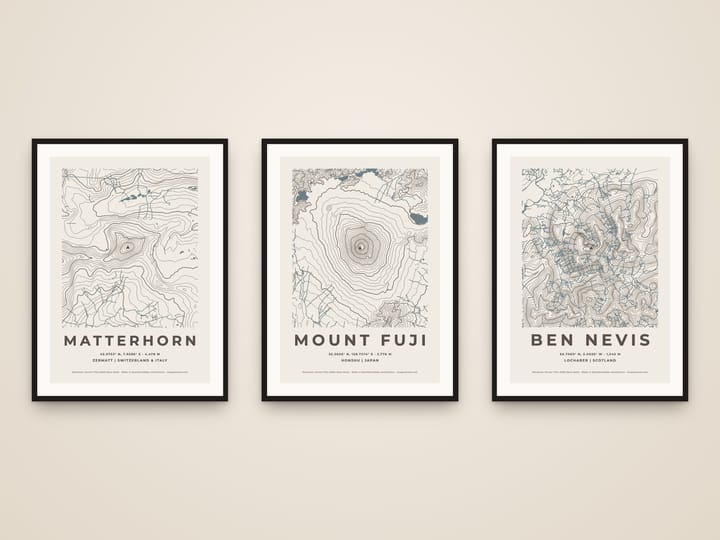
Custom Mountain Topographic Map Print — Any Peak in Contour Lines
€14.90≈ $16.67
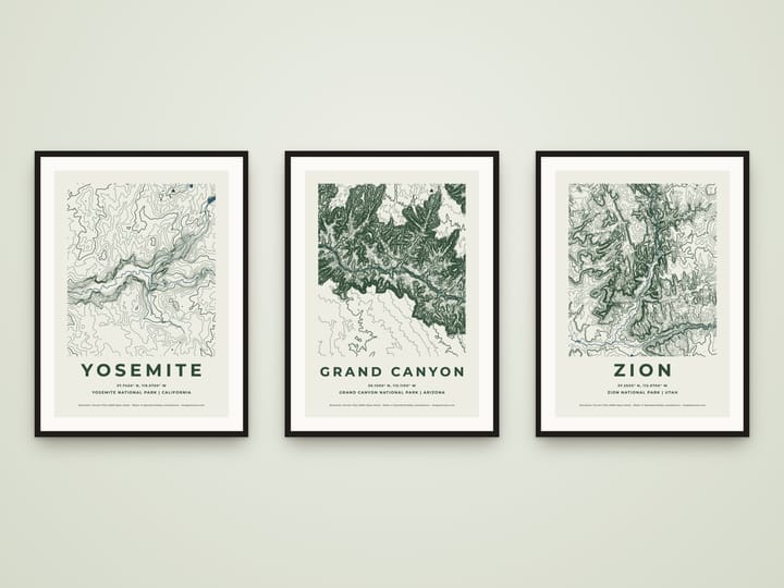
National Park Topographic Map Print — Any Park in Contour Lines
€14.90≈ $16.67
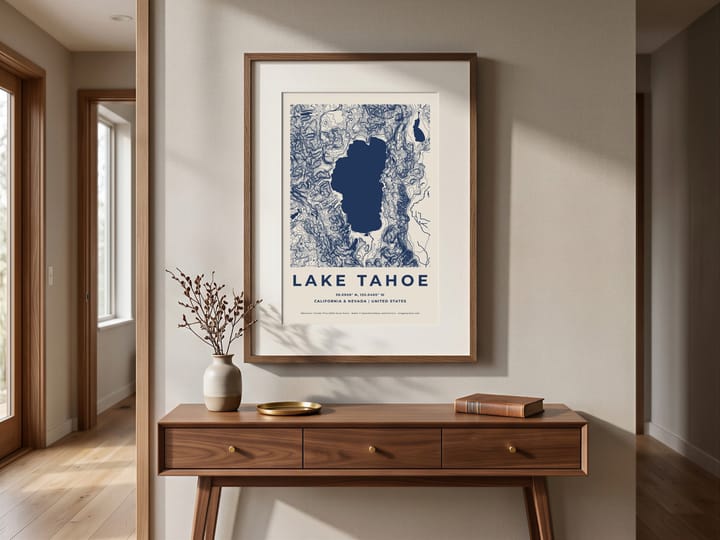
Custom Lake Map Print — Any Lake, Topographic Contour Poster
€14.90≈ $16.67
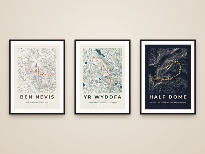
Hiking Route Map Print — Your GPX Hike on a Topographic Map
€14.90≈ $16.67
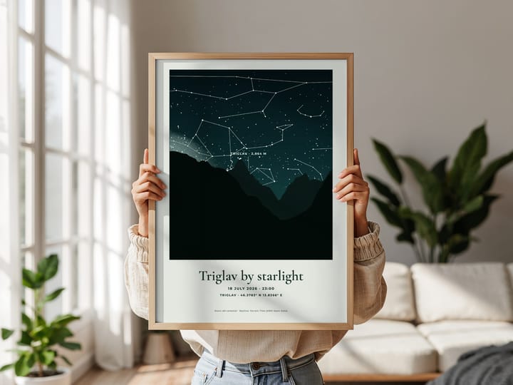
Summit Night Sky Print — The Real Stars Over Your Mountain
€14.90≈ $16.67
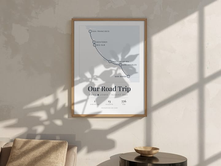
Personalised Trip Map Print — Your Honeymoon or Road Trip Route, Stop by Stop
€14.90≈ $16.67