

Mount Fuji topographic map
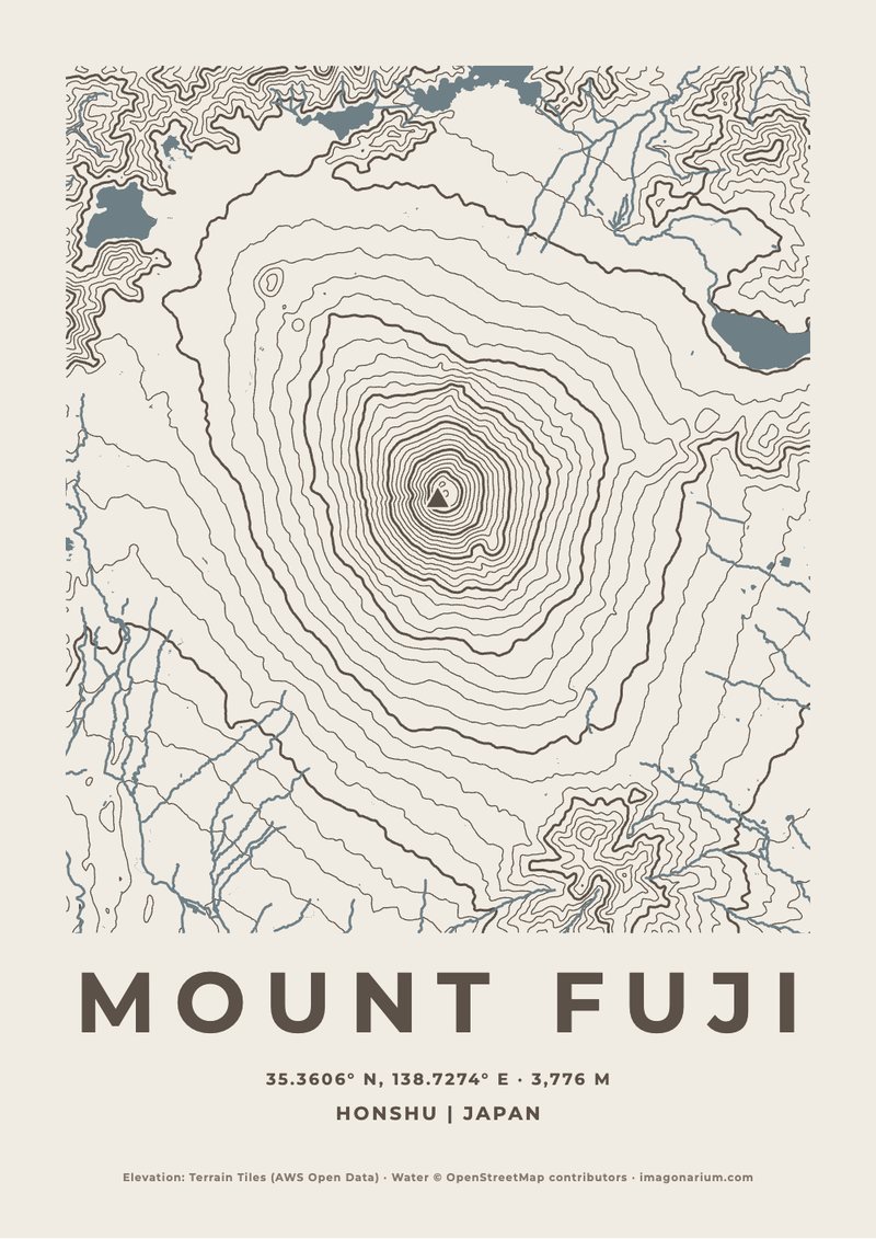
Japan's sacred volcano, its famous symmetry drawn in almost perfect circles of contour lines narrowing to the crater, with the Fuji Five Lakes at its northern foot.
- Where
- Honshu, south-west of Tokyo
- Summit
- 3,776 m (12,388 ft)
- Coordinates
- 35.3606° N, 138.7274° E
- On the map
- 30 km across
Real elevation data · your colour and words · instant printable PDF
Make your Mount Fuji print
It opens on Mount Fuji. Choose the colour, how much of the area it shows and the words, and download the PDF the moment you pay.
Powered by Moon Poster Studio
Questions
- Is it the real Mount Fuji?
- Yes. The contour lines are drawn from real elevation data (Terrain Tiles on AWS Open Data), and the rivers and lakes from OpenStreetMap, so every ridge and valley on the print is Mount Fuji's own.
- Can I change the colour?
- Yes: lake blue, forest green, stone, terracotta, black and white or night, or any colour of your own, with the paper and water matched to it.
- Can I change the words?
- Yes. It opens with "MOUNT FUJI" and "Honshu | Japan", the summit height, and the coordinates; change any of it, or add your own line such as the date you were there.
- Can I show more or less of the area?
- Yes: choose from 3 to 80 kilometres across, and tap the map to move its middle.
- What do I get?
- A print-ready PDF at the size you choose, from A5 to A1 or 8×10 to 24×36 inches, ready the moment you pay, for €14.90. Print it at home or at any print shop.